Is Suzhou Creek worth visiting on a first Shanghai trip?
Suzhou Creek offers a different scale of Shanghai from the broad Huangpu waterfront: bridges, older commercial buildings and everyday streets are close enough to notice slowly. Choose it when you want an unhurried outdoor interval between larger attractions, particularly if architecture and street photography interest you. It is a walk through a working city, not a ticketed scenic park with one entrance and one prescribed circuit.
The creek is in Shanghai; this outing is not a day trip to the city of Suzhou. The central eastern stretch approaches the Bund where the creek meets the Huangpu River. You can connect the two waterfronts, but the famous open panorama of Pudong belongs to the Huangpu side. Do not expect uninterrupted skyline views along the entire creek.
This guide focuses on a daytime eastbound walk and a shorter alternative. Allow room for crossings, a seated break and the journey back to your hotel. If you have only one short evening and mainly want illuminated skyscrapers, prioritize the Bund instead of trying to complete both experiences at speed.
Choose a route length before you set off
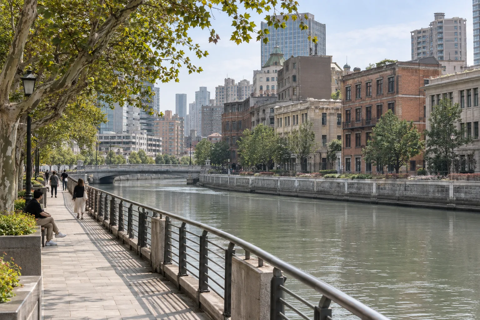
Shanghai’s official tourism website describes an approximately three-kilometer south-bank route from Jiuzi Park to Waibaidu Bridge, including Zhapu Road Bridge and the former Shanghai Rowing Association site. Use those named places as orientation points rather than interpreting the route as a promise that every meter follows an uninterrupted waterside path.
For that longer option, our suggested allowance is two to three hours with photographs and a coffee stop, excluding museum interiors and the trip from your hotel. This is an editorial pacing estimate, not an official walking time. A brisk walker may need less; a family, photographer or visitor managing fatigue may want considerably more.
For a shorter outing, start around Yuanmingyuan Road in the Rockbund area, explore the street exteriors, reach Zhapu Road Bridge and continue toward Waibaidu Bridge. Allow roughly 60–90 minutes with pauses, checking the actual distance from your chosen starting point. Do not add Jiuzi Park just to complete a checklist if your available time or energy suits the eastern section better.
- Longer option: Jiuzi Park → east along the south-bank corridor → Zhapu Road Bridge → former Rowing Association exterior → Waibaidu Bridge.
- Shorter option: Yuanmingyuan Road / Rockbund → Zhapu Road Bridge → Waibaidu Bridge.
- Optional extension: continue onto the Bund only if weather, walking energy and return plans still work.
Getting to the right riverbank, and saving the finish
Save the exact starting point in your map before leaving the hotel. Useful search names are Jiuzi Park (九子公园), Zhapu Road Bridge (乍浦路桥), Yuanmingyuan Road (圆明园路) and Waibaidu Bridge (外白渡桥). Searching only for Suzhou Creek can produce a pin far from this compact central route.
Choose your metro approach using a current walking route from the station exit, not simply the station that looks closest on the map. Xinzha Road on Line 1 is one option to investigate for the western part of this central area; the city also lists Qufu Road on Lines 8 and 12 for the Sihang Warehouse area north of the creek. The correct choice depends on your hotel, intended bank and any museum detour.
Agree a legal roadside drop-off if using a car. Riverside promenades are not vehicle pickup lanes. For the return, save an accessible street meeting point near your chosen finish and send the driver its exact location. If you end early, update that point rather than asking the driver to find you somewhere along the water.
Follow posted diversions and designated crossings. A bridge viewpoint, park gate or riverside staircase may not be the best through-route for a wheelchair or stroller. Keep a street-level alternative available and avoid treating a map’s shortest line as proof of step-free access.
What to notice between Jiuzi Park and the eastern bridges
At the start, establish which way leads east toward the river mouth. Rather than photographing every building, pick a few details: the contrast between an older facade and a modern tower, the rhythm of windows, or the change in the water’s reflections beneath a bridge. Looking at one short section attentively is more rewarding than constantly checking how many stops remain.
Zhapu Road Bridge is highlighted in official city walking guides as a photography point. Approach on the pedestrian pavement, look for an unobstructed position and keep space for people to pass. A popular composition is not a reason to stand in the road, lean over a railing or block the bridge with a tripod. Haze and cloud can change the distant view substantially.
As you reach the eastern section, the former Shanghai Rowing Association building provides another exterior stop before Waibaidu Bridge. Seeing a facade does not mean its interior is publicly accessible. Finish with a deliberate choice: pause near the bridge, continue to the Bund, or leave for a meal. Crossing and recrossing the creek for every camera angle quickly adds walking.
Rockbund architecture or a museum: choose one extra
The official architecture walk links Yuanmingyuan Road, the Rockbund area and Zhapu Road Bridge. This makes a useful alternative to extending farther along the creek: examine doorways, brickwork and contrasting building styles from public streets. Some buildings are working premises, so do not assume an attractive lobby is a visitor attraction or photograph people inside without permission.
For a history-focused outing, Sihang Warehouse Battle Memorial is a separate north-bank detour at No 21 Guangfu Road, interpreting the 1937 defense of the warehouse. It is a memorial rather than a lighthearted photo backdrop; approach the subject and other visitors respectfully. Plan its interior before arranging the remainder of the walk, especially if your party includes children who may need context for wartime displays.
Checked September 17, 2026: the city’s published memorial listing gives Tuesday–Sunday opening, 9 am–4:30 pm, with last entry at 4 pm, and a Monday closure except national holidays. That listing was updated in August 2025, so reconfirm current access, holiday exceptions and any reservation requirement with the venue. Do not use an evening photograph of the exterior as evidence that the exhibition remains open.
Art lovers could instead investigate Fotografiska Shanghai and its current exhibition. Check the venue’s own ticket and admission information for the chosen date, then shorten the outdoor walk accordingly. One museum plus a gentle riverside section is a more coherent half-day than several hurried interiors linked by long transfers.
Coffee, weather and a comfortable pace
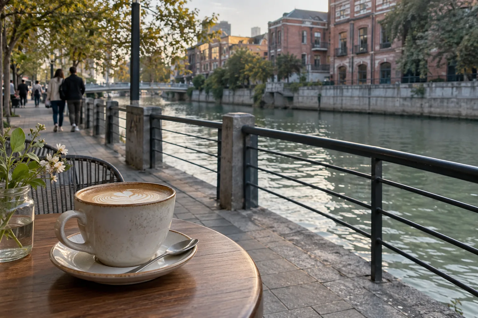
Choose a meal or coffee break for its seating, menu and location, not because a photograph suggests every cafe has a river-view table. Outdoor tables may be occupied, unavailable or uncomfortable in rain. Check prices before ordering and identify a toilet stop before someone urgently needs it. A short inland detour can be worth more than a perfect waterfront seat.
On hot, humid days, begin earlier or shorten the route and plan an indoor pause. Carry water and sun protection; trees do not provide continuous shade. After rain, use shoes with grip and take extra care on smooth paving. In thunderstorms or severe-weather warnings, postpone the waterside walk rather than using an exposed bridge as shelter.
Late afternoon can work well if you want changing light, but there is no guaranteed sunset photograph or fixed illumination schedule in this guide. Keep enough daylight to navigate unfamiliar crossings. Children need supervision near water and traffic even where railings are present. For limited mobility, the short eastern option still requires checking curb cuts, gradients and a suitable resting place.
Fit the walk into a Shanghai day without overbooking it
A simple half-day is a late-morning creek walk, lunch near the finish and an optional look at the Bund. Another version makes the memorial or an art exhibition the main event and uses only a nearby stretch of riverbank afterward. These are flexible editorial suggestions, not timed tour departures or guarantees of venue availability.
A Suzhou Creek sightseeing boat, if you choose one, needs a separate check of the operator, departure pier, running date and ticket. It should not be confused with a Huangpu River cruise or treated as a hop-on replacement for this walk. Likewise, M50 and other farther-west places associated with the creek are not included in the compact eastern route described here.
If requesting a private guide, name the start and finish, your comfortable walking duration, whether you want museum entry and any step-free requirements. Ask the quote to distinguish guiding, transfers and admissions. A clear two-hour outdoor brief is easier to plan well than a request to see the whole creek plus every central Shanghai landmark.
Practical questions
Is Suzhou Creek in Shanghai or Suzhou?
This guide covers Suzhou Creek in central Shanghai. It is not a trip to Suzhou city, which requires separate transport planning.
How long is the Suzhou Creek walk to the Bund?
The official tourism route from Jiuzi Park to Waibaidu Bridge is approximately three kilometers. Allow two to three hours with breaks as an editorial estimate; museum visits and hotel transfers add time.
Can I do a shorter Suzhou Creek walk?
Yes. Focus on Yuanmingyuan Road and Rockbund, Zhapu Road Bridge and Waibaidu Bridge. Roughly 60–90 minutes with pauses is a useful planning allowance, depending on your exact start and pace.
Do I need a ticket to walk beside Suzhou Creek?
The suggested outing uses public streets and waterfront spaces rather than a single ticketed attraction. Museums, exhibitions, boats and food stops have their own access conditions and possible charges.
Is the route suitable for wheelchairs or strollers?
Do not assume the entire connection is step-free. Check the specific station exit, bank access, crossings, gradients, toilets and current diversions, and keep a shorter street-level alternative.